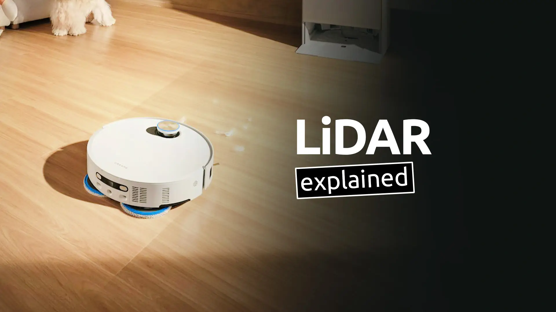
LiDAR navigation is a technology used by many modern devices to map their surroundings and move accurately through space. It is commonly found in robot vacuum cleaners, autonomous vehicles, drones, and robotic lawn mowers.
The name LiDAR stands for Light Detection and Ranging, and it works by sending out thousands of tiny laser pulses and measuring their return time.
How LiDAR Measures Distance
At the core of LiDAR technology is a simple principle: measure how long it takes for light to travel to an object and return.
A LiDAR sensor rapidly emits laser pulses in different directions. When the light hits a surface – such as a wall, furniture, or the floor – it reflects back to the sensor. The device then calculates the distance based on the time it took for the light to return.
Because light travels extremely fast, these measurements can be performed millions of times per second, allowing the system to build a detailed understanding of its surroundings.
Creating a 3D Map of the Environment
By sending laser pulses in many directions, a LiDAR system can create a 3D map of the environment.
Each laser measurement generates a point in space representing the distance to an object. When thousands (or even millions) of these points are combined, they form what is called a point cloud, which represents the shape of the surrounding environment.
Advanced software then processes this data to identify walls, obstacles, furniture, and open spaces. This information allows the device to understand where it is and where it can move safely.
How LiDAR Is Used for Navigation
Once a map is created, devices use LiDAR data to plan efficient movement paths.
For example, a robot vacuum equipped with LiDAR can:
– Map the entire room layout
– Detect obstacles like furniture or walls
– Track its position inside the house
– Plan the most efficient cleaning path
Unlike simple navigation systems that rely on random movement(the early days of robot vacuums), LiDAR navigation allows the device to move methodically and avoid missing areas.
Where LiDAR Technology Is Used
Although many people associate LiDAR with robot vacuum cleaners, the technology is used in several other fields.
Common LiDAR applications include:
– Autonomous vehicles for detecting obstacles and mapping roads
– Drones for terrain mapping and navigation
– Smartphones and tablets for augmented reality and 3D scanning
– Surveying and mapping for creating detailed terrain models
Because LiDAR can measure distances very accurately, it is especially useful in environments where cameras alone may struggle.
Advantages of LiDAR Navigation
LiDAR offers several advantages compared to simpler navigation technologies.
- One of the biggest benefits is high accuracy. Because it measures distances directly using light, LiDAR can produce very precise maps of the surrounding environment.
- Another advantage is fast scanning speed, which allows devices to update their maps in real time as they move.
- LiDAR also works well in low-light conditions, since it relies on laser signals rather than visible light.
Limitations of LiDAR
Despite its advantages, LiDAR technology also has some limitations.
Highly reflective or transparent surfaces (such as mirrors, glass, water), can sometimes affect laser reflections and reduce accuracy.
Because of this, many modern systems combine LiDAR with cameras and other sensors to improve overall reliability.
This technology has now become a standard not only in robot vacuums but also in autonomous vehicles, drones, and advanced consumer electronics, making it an important part of modern smart devices.
Don’t forget to check out these articles:


Leave a Reply